|

|
|
In this section, I share my most beautiful hikes. SEE THE LIST OF HIKES. |
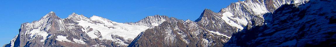
The gouffre d'enferJuly 1, 2014: Hiking around the hellish abyss. 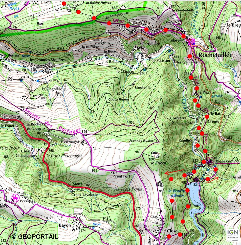
L'itinéraire est repéré par des points rouges sur la carte. 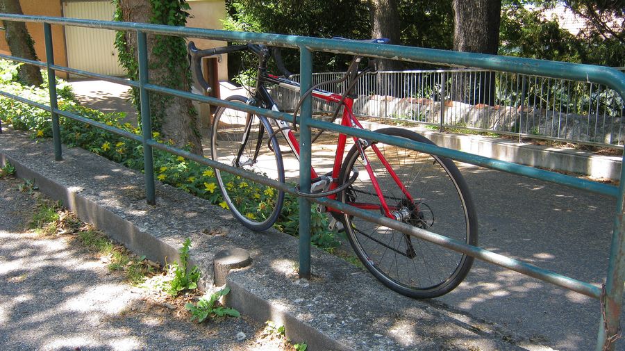
I tie it carefully as a precaution, since this bike will be alone for several hours. 
You have to go down to the right, direction the hellish abyss and the via-ferrata. 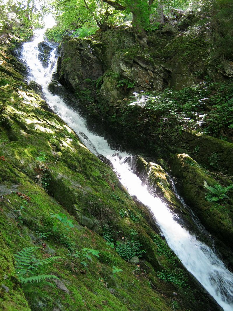
The road leads to a parking lot, the starting point for the trails rising to the dam. To the left of the main path is a waterfall. We leave it on the left, and continue following the posts. We start to climb a little while going to the left. 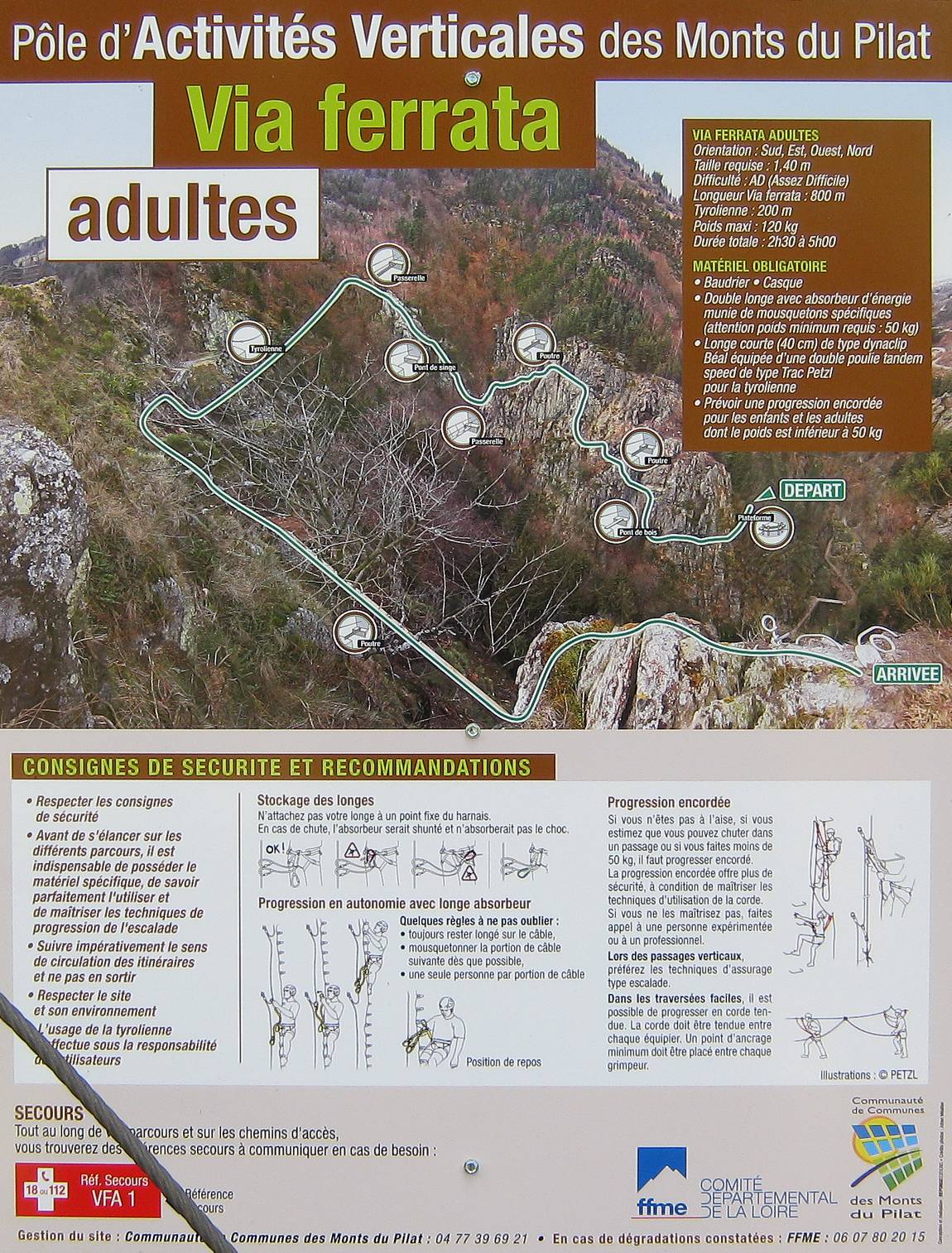
A little further, we discover the starting platform and the panel giving the party program (scroll). 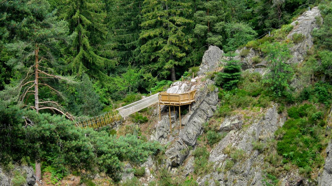
We see opposite one of the planned rejoicing, the footbridge. 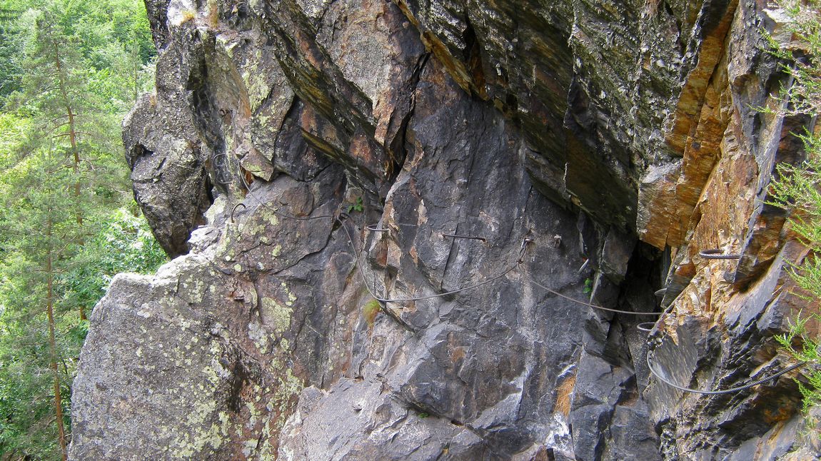
A little climbing does not hurt if you are well insured. But the via Ferrata will be for another day. Today, we're going to take height to see the dam from above. So we leave this route on the left and continue to climb on a fairly steep path. In the forest, we meet a sign indicating an adult mountain course, which we do not follow. We go up... 
The barrage of the Gouffre d'Enfer was built in 1866 to contain the waters of the Furan, which descends from the Bessat, and whose floods caused big damage to Saint-Etienne. The waterfall at the start of the hike, on the Furan course, below the foot of the dam, is already far away. We approach Planfoy, where we descend, in the woods, to the dam. Before crossing it, we taste some blueberries (see the bushes in the foreground below), and we look at the strange staircase that we will take to descend to the waterfall: 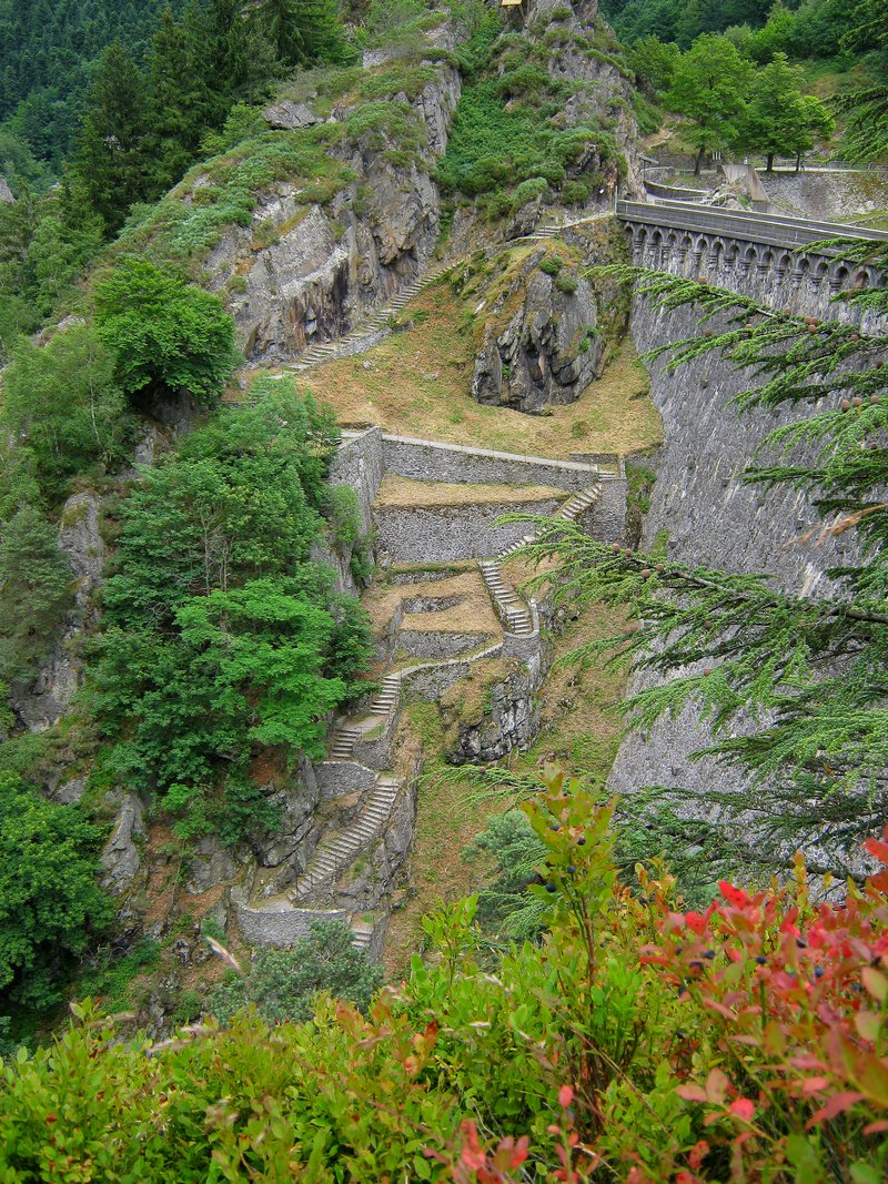
On the rock above this staircase is the tyrolean arrival platform.
You can see a guy who appears to cross the tunes above the dam at any time, which makes a strange impression! Finally, note that behind the rock on which this platform is mounted is the Roche Corbière climbing site, managed by the local section of the French Alpine Club, which has 180 lanes equipped with 15 to 90 meters in length, from 3a to 8a+ difficulty (see clubalpin-saint-etienne.ffcam.fr); But it's already another story ... |
CommentsThere is no comment yet. Be the first to write one!
 |

|

|