|
|  |
|
In this section, I share my most beautiful hikes. SEE THE LIST OF HIKES. |
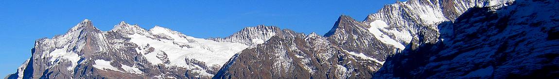
Hiking to the Crolles tooth in Chartreuse.This is not about the anatomy of a Vampire, although the teeth often inspire the names of places in the mountains. This is the story of a beautiful hike in Chartreuse October 25, 2014. With an altitude of 2062 meters at its summit, the Dent de Crolles is the second highest point of the massif, after Chamechaude, which reaches 2082 meters. 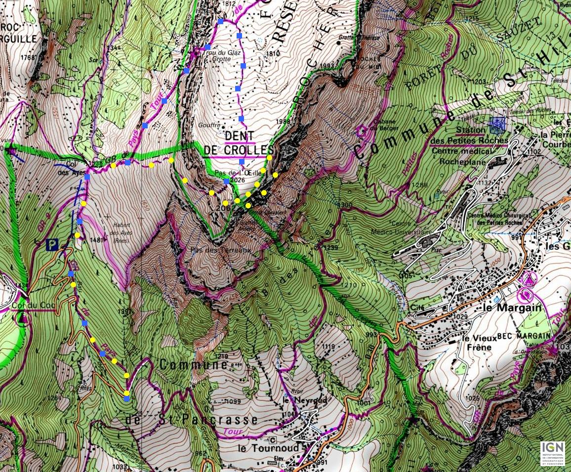 The climb route corresponds to the yellow dots, and the descent is indicated in blue. The beginning of the hike is 1220 meters above sea level, at a left turn on the road from the village of Crolles to the Coq pass. We leave the car and take the path that climbs into the forest, starting along the right side of the road. Autumn is the most colorful season in the mountains, so we take advantage in October of shades of red, green and yellow vegetation. The carpet of leaves muffles the sound of our footsteps. 
Walking in this undergrowth, we climb to the Ayes pass. When we finally come out, it is to follow almost immediately the ridge of a dangerous cliff, which it is better to avoid approaching, because the ground could at any moment fall into the valley, taking us with it, like an avalanche can suddenly start and take the mountaineer or the unwise skier with it... 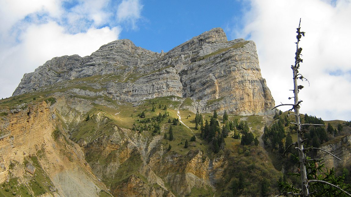
On the right, we see then the tooth of Crolles in all its extent and the details of its forms, as tortured and strange as those of all the summits of the Chartreuse. 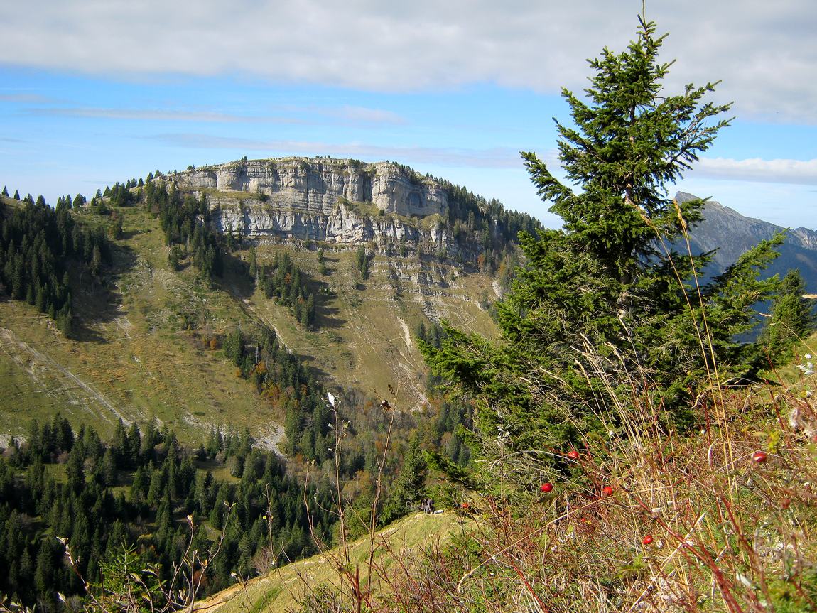
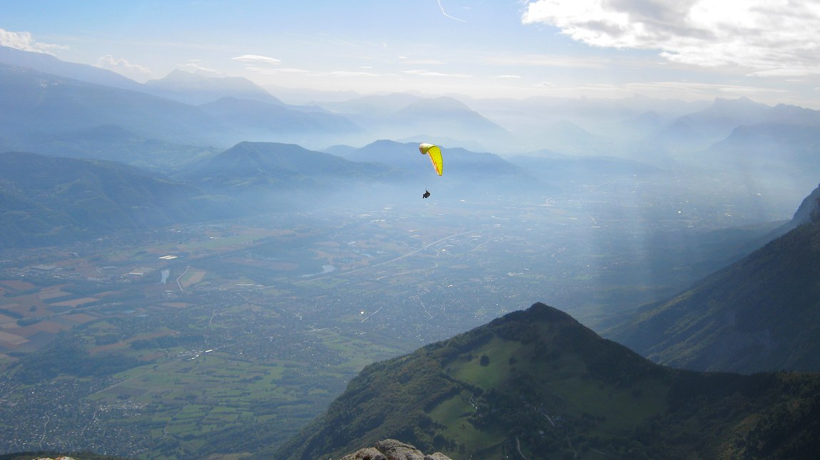
After the Ayes pass, the trail becomes harder and forms laces. We turn right instead of going on the cliff. Now, the trail becomes a sangle, a narrow platform at the top of a cliff. It is therefore a dangerous path if the ground is wet or if the hiker is not experienced enough to secure his footsteps, or if he is still sensitive to vertigo. As a reward, the view often emerges on the valley towards Grenoble. We also have the chance to see a paraglider, the place is a spot of this sport. 

We make a big loop on the left, and we finally discover the grassy plateau gently sloping, that the cliff had hidden from us until now. 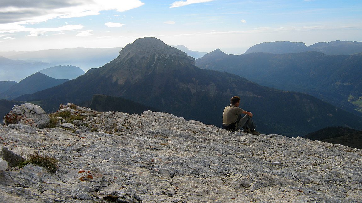
Walking on this plateau to the cross, we arrive at the summit. Here, the view of Chamechaude is remarkable. 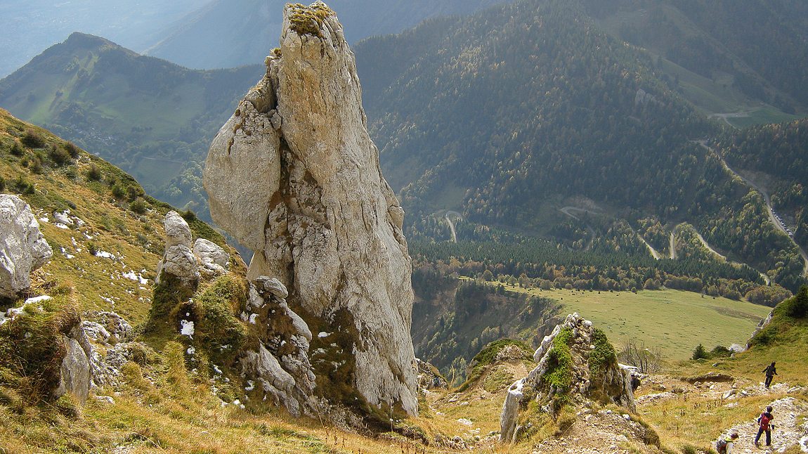
Going back down, we see on the left a strange rocky monolith, which seems to look at the Coq pass, where many walkers park their car. We do not take the path followed by hikers on the picture, because it would take us directly to the Ayes pass. Continuing straight, then taking left the country G.R. (great hiking trail), we pass near the curious hole of Glaz, a cave that goes far into the mountain. With a lamp, we can explore the beginning... Then, we go down to the Ayes pass, and find our starting point by the same undergrowth as for the beginning of the hike. |
CommentsThere is no comment yet. Be the first to write one!
 |

|

|